NSC Outdoor Adventures
Jock's Road
Distance: 22km/13miles, 870m ascent
Walk Duration:
8hrs
Spaces: Maximum 10, minimum 3.
Notes: Extremely
Strenuous. Hillwalking gear required. Packed lunch and snacks required.
Maps: Landranger 43 & 44, Explorer 387 & 388
Scotways
Route 175
With the
exception of the Lairig Ghru this is probably the best-known hill track in
Scotland. Starting in Glen Doll and finishing at Auchallater 22.4km (13.9ml) to
the north, it gets as high as 920m at Crow Craigies. With transport arranged at each end, this is
an ideal opportunity to tackle it. Although it was
an ancient right-of-way, access was blocked by a Victorian estate owner. (An
all-to-familiar situation.) A determined Scot, John (Jock) Winter, supported by
the Scottish Rights of Way Society, asserted his right to walk the route. The
dispute went all the way to the House of Lords and was finally successful in 1888.
 |
 |
 |
|
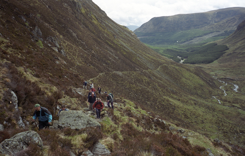
The climb out of Glen Doll |
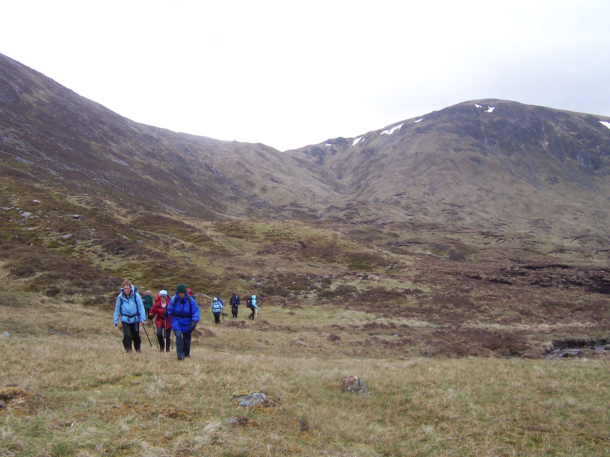
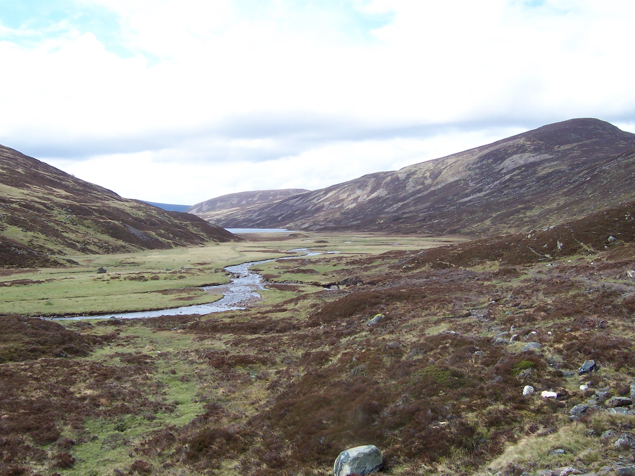
After the descent into Glen Callatar | Loch Callater |